
It’s wasn’t too many years ago that inspecting a bridge, evaluating safe passage, or planning a route took a brave soul to volunteer or a less brave soul to draw the short straw.
Now, we just send a robot or, better yet, a drone to scope the area and if 2020 will be remembered for anything… ahem, on such a list will be advancements in drone technology.
Skydio has been one leading the charge in advanced drone capabilities. Today, they announced the Skydio X2 drones, along with new apps and a new $100M Series C funding round. It is the culmination of 10+ years of autonomous drone R&D to address concerns and issues with traditional manual drones.
The Skydio X2 drone has ‘360° situational awareness’ with a 360° Superzoom color camera, a FLIR thermal camera (360×256), 180° vertical view capability and a 3.9 mile (6.2km) range on 35 minutes of battery life.
Along with this, the drone uses Skydio Autonomy, their AI technology that uses six 4K camera to build a real-time 3-dimensional area map passed through deep learning algorithms to extrapolate objects, location, action, and avoidance. With this, it provides a drone that is easier to control for beginners and more capability for experienced operators.
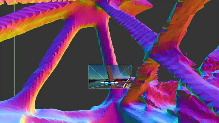
Skydio 3D Scan sis a ‘first of its kind’ digital scanning software that is designed to inspect bridges, buildings, infrastructure, and other complex industrial structures, reconstructing the scene in real-time. Skydio explains:
“Unlike inspection conducted with manual drones, Skydio 3D Scan enables a fully automated, structure-agnostic process that does not require any prior knowledge of the inspected structure and can operate in GPS-denied environments or without internet connection. Operators can specify the area or volume to inspect, pick a desired imaging resolution, and the AI-powered Skydio 3D Scan does the rest, autonomously imaging all surfaces with precision by dynamically building a real-time map as the drone flies. The resulting imagery has no gaps in captured data, and is optimized to ensure effective photogrammetry.”
Read the rest at SolidSmack