

One of the best cloud services for photogrammetry just changed itself around.
Autodesk’s ReMake is being discontinued, but now a new, improved system, Autodesk ReCap Photo, takes its place.
ReMake was (and I suppose still is, at least until December 1st) a very powerful photogrammetry tool that transforms optical or other 2D data into usable and detailed 3D models. It’s being replaced by a new system, ReCap Photo, which is rather similar, but with expanded capabilities.
Photogrammetry is the process of capturing multiple images of a static subject from different angles, and then combining them together into a 3D model using an analysis of how the subject moves in front of an identifiable background surface.
Autodesk has provided this type of function in many forms for years, including the once-popular but now discarded 123D Capture app that may still exists on poorly updated smartphones.
Autodesk ReCap Photo isn’t a smartphone app, but is a cloud-managed service. In fact, you can run it locally or use their cloud engines to perform the image analysis and 3D model generation. However, it runs only on Windows 64-bit operating systems for now, and I suppose that’s why they also offer a cloud version to handle non-Windows clients.
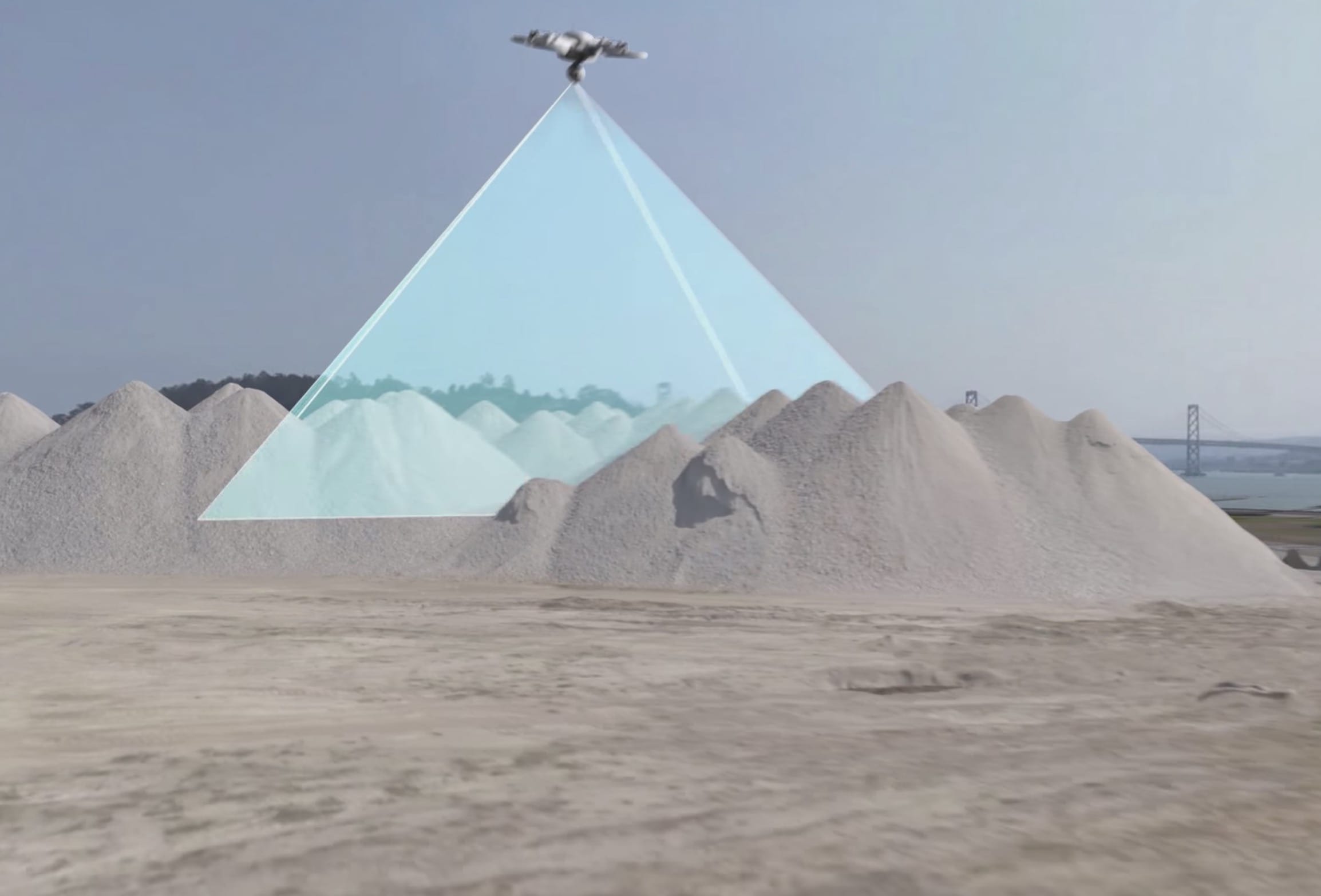
The new system is optimized for drone photogrammetry. While standard “manual” photogrammetry has been a practice for some time, people discovered that drones can very easily orbit an object and capture the same sort of 2D images, albeit at a much larger scale.
Drone scanning can capture very detailed 3D models of buildings, geographical structures and cityscapes. Autodesk has made the system more powerful by permitting an additional number of images per analysis, raising it from 250 to 1,000, which should dramatically increase the accuracy and detail of resulting 3D models.
It seems that drone scanning has become so popular that Autodesk has provided a number of drone workflows within Autodesk ReCap Photo as well, making the life of drone scanners far easier. Another feature is the ability to set “ground control points” to provide a “geographical anchor”.
The results are pretty spectacular, if you can see the scans in their video:
One important aspect that is changing is that Autodesk is now discontinuing their free “photo to 3D model” service that was included in Autodesk ReMake. Previously you could use ReMake’s basic service to transform a small set of images into good quality 3D models at no charge, with greater numbers of images available at a cost.
Now the new Autodesk ReCap Photo no longer provides any free service, as it requires a subscription or credits for “on demand” usage based activity. The number of Autodesk A360 Cloud Credits per analysis varies depending on the number of images you wish to submit, with three levels available. Pricing depends on the rate Autodesk sells credits within your region, so please check with Autodesk for exact amounts.
The big switchover is scheduled for December 1st, when Autodesk ReMake is officially discontinued. Users are encouraged to signup for Autodesk ReCap Photo to gain access.
3D capture of objects is now becoming a more “normal” activity, particularly with drones, as the cost of doing so is quite a bit less than with traditional approaches using airplanes and LIDAR. Those processes are switching over to drone-based solutions, and it seems that Autodesk is going along, particularly because their revenue stream for Autodesk ReMake was likely dependent on LIDAR-based subscribers.
Via Autodesk