
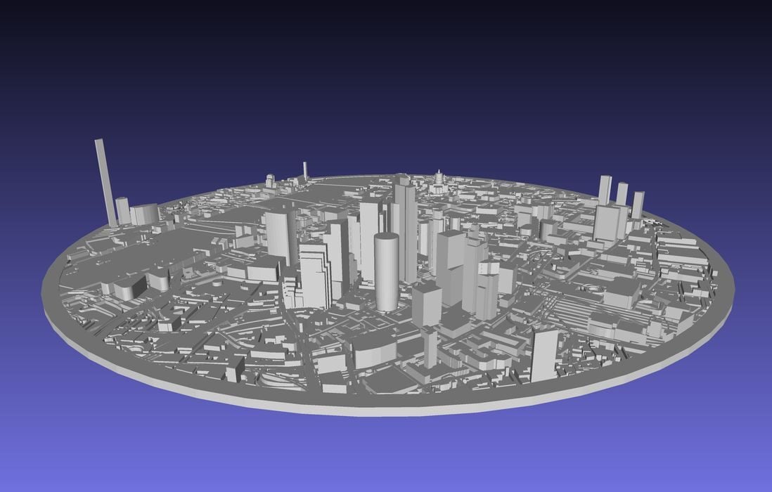
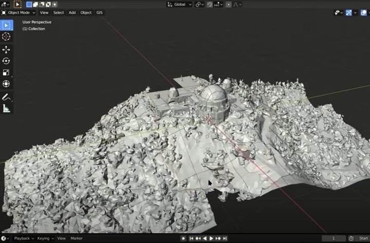
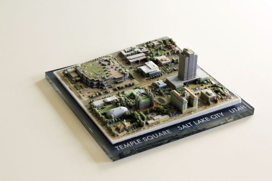
Map2Model is now gone!
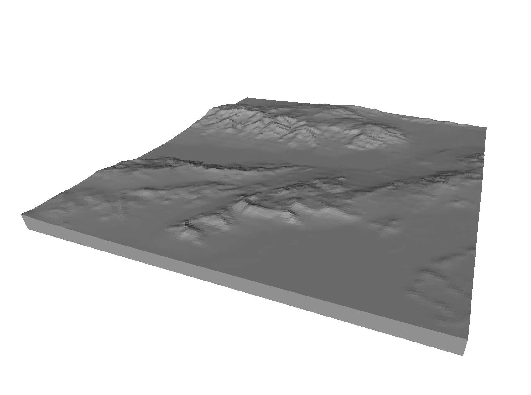
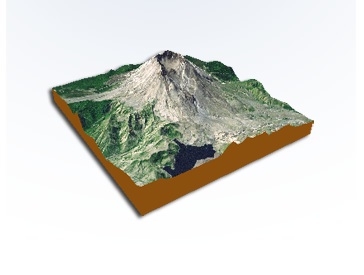
landscape
Map2Model Offers Accessible Way to Generate Cityscapes for 3D Printing
I’ve found a new way to generate cityscapes for 3D printing.
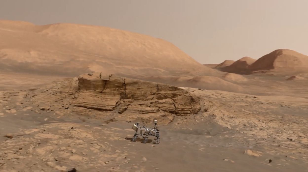
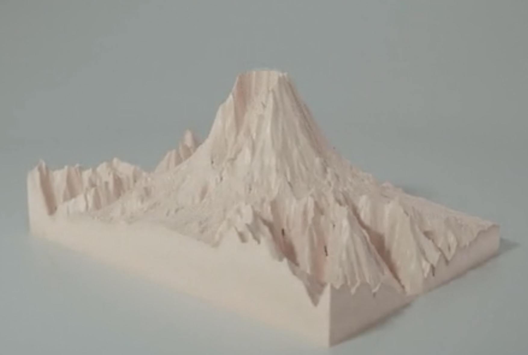
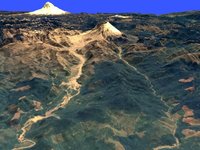
Design of the Week: Mont Mercou on Mars
This week’s selection is the Mont Mercou on Mars 3D model by Simeon Schmauß of LPG Nantes.
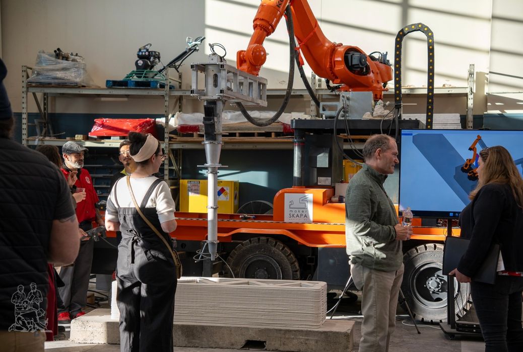
Breaking New Ground: The Role of 3D Printing in Modern Landscape Architecture
Charles R. Goulding and Preeti Sulibhavi discover how SKAPA’s Innovation Tour showcased the potential of 3D printing technology to create customized and sustainable landscape features.
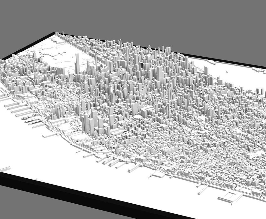
Design of the Week: MANHATTAN
This week’s selection is the huge MANHATTAN city 3D print by Luca Liguori of 3DCityFrames.
New Chart Illustrates Polymer 3D Printing Options
A new chart published by AMPOWER shows a comprehensive view of the polymer 3D printing landscape.
An Unusual Method To Capture Global Scenes In 3D
A software hack allows export of 3D data from Google Maps for use in other 3D modeling programs.
3D Printing “Directly” from Google Earth
Some folks found a way to 3D print full color cityscapes directly from Google Earth.
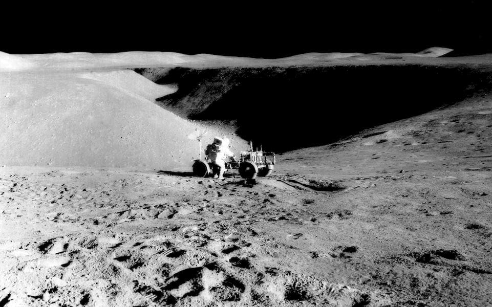
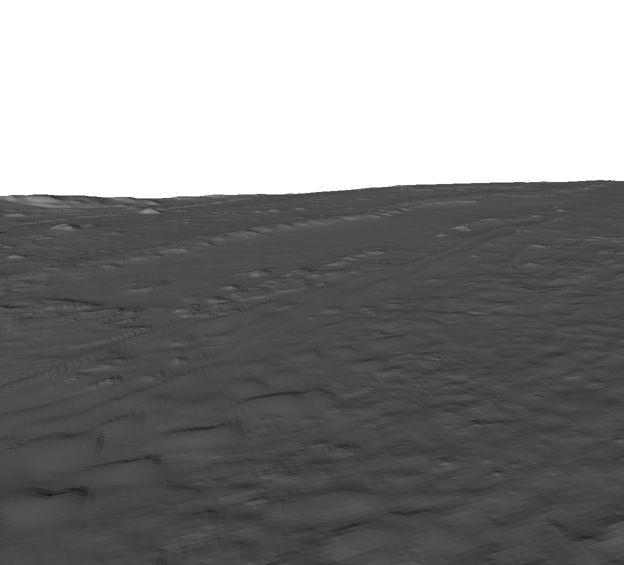
3D Print The Moon – Or At Least Some Bits Of It
I bumped into some ready-to-3D print 3D models of the lunar surface.
Easy 3D Printable Landscapes: TouchTerrain
Looking for an easy way to find 3D printable terrain models? Go no further than TouchTerrain.
Sightline Maps Produces Instant 3D Printable Terrains
A new project hopes to provide an ability for educators to create any type of 3D contour maps.
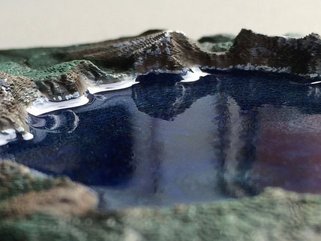
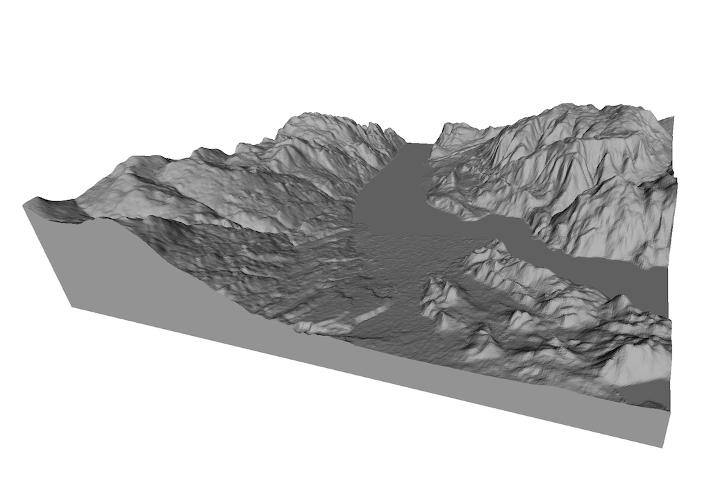
Design of the Week: Crater Lake
This week’s selection is the brilliantly finished Crater Lake topographical model by Australia’s Conor O’Kane.
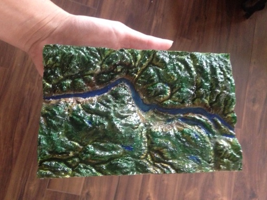
Another 3D Printing Use Case: Land Models
Along with prosthetics, prototypes, jewelry and other increasingly common usage scenarios for 3D printing is one that was discovered years ago but hasn’t seem to grow as much: land models.
Free 3D Models Of The Martian Surface Available
NASA has published a very useful Mars exploration tool, MarsTrek, which happens to also provide 3D model download, too.
3D Print ANY Landscape. Right Now!
Some people like to 3D print landscapes. You know, mountains, rivers, lakes and the rest. But where do you get the 3D data for it? We found a service that can do so.
The Society for Printable Geography
There have been many attempts to print landscapes with 3D printers, but here’s a whole service dedicated to that pursuit: The Society for Printable Geography. While it’s called a “society” it’s actually a specialized 3D print service. The Society uses the Shapeways 3D print service to produce its attractive items. They have a huge… Continue reading The Society for Printable Geography

Dam Building With a 3D Printer
Of course you can’t *actually* build a dam with a 3D printer. Not yet, anyway. But for now you can build rather nice models of them – and that’s just what Marco Giubelli did with his RapMan 3D printer for his client. The model is of a proposed hydro-electric water storage dam on Lago… Continue reading Dam Building With a 3D Printer
Replicating The Volcano
Students at Clevedon School in North Somerset made a volcano. A tiny one – based on NASA 3D data they downloaded and converted into a 3D model. The model was then pushed through a Bits From Bytes RapMan, giving the students the opportunity to see and touch the shape of an actual volcano. In this… Continue reading Replicating The Volcano
Developments in 3D Geographic Printing
RapidToday has a great article exploring several developments in the ability to print geographic scenes in three dimensions. We’ve written about this before, as a few point services offer this capability. But it’s hard to do. In RapidToday’s article, you’ll learn about: How one of the authors of NASA’s World Wind open source geographic project… Continue reading Developments in 3D Geographic Printing
TerrainPrint!
You always wanted a piece of land you can call your own, right? Now you can do that – and carry it with you, too! TerrainPrint is a service that: TerrainPrint can create a 3D model of anywhere on earth. Use our software which works just like Google Earth to choose where you would… Continue reading TerrainPrint!
Actual Town 3D Printed
Well, not the town itself, but a complete 3D model of a new town was created for a new market town outside of Plymouth, UK. Sherford used a variety of photographic, topographical and other techniques to build a highly accurate model of the townsite, which is comprised of some 5,500 homes. The work was done… Continue reading Actual Town 3D Printed

Land Printing
Yet another niche 3D printing service: LandPrint.com, who can “create a 3D model of Any Place on Earth!” To use the system, you must download a special software program (LandPrint Designer) that looks a heck of a lot like Google Earth (but isn’t). Then you browse “the Earth” to identify the location you want… Continue reading Land Printing
3D Landscapes
PrintWeek reports on a printing company in Wales who have used a 3D printer to produce an accurate model of the Teign Estuary in Devon, UK. Evidently Bluesky’s 3D model includes: a real-world view of the estuary and surrounding area, including trees and buildings. We’ve previously seen 3D prints of objects, buildings and artistic designs… Continue reading 3D Landscapes